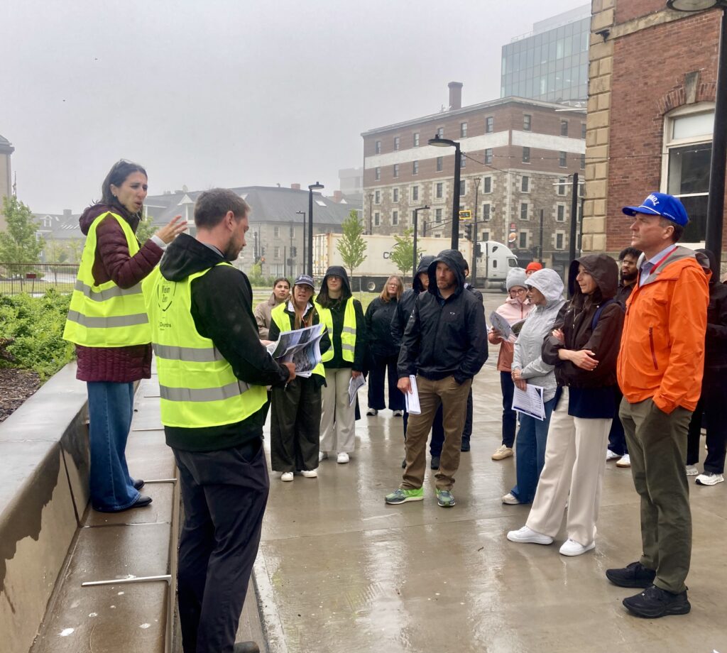
This walkshop took place on June 16, 2026 in Halifax as part of the joint conference co-hosted by Parachute with the Canadian Association of Road Safety Professionals and the Atlantic Collaborative on Injury Prevention.
Two staff members from the Halifax Regional Municipality, Program Manager Elora
Wilkinson, and Assistant Program Director Matthew MacEachern, led 40 participants on a six-stop walk around the redeveloped Cogswell District.
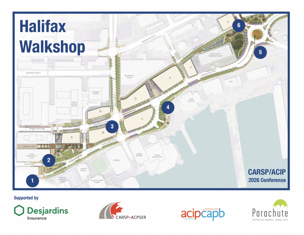
The redevelopment of Halifax’s Cogswell Interchange offers an important example of how a major transportation infrastructure project can reshape a city around people, safety, accessibility and connectivity.
Once dominated by a large, vehicle-oriented interchange, the 22-acre Cogswell site is being transformed into a mixed-use district that reconnects neighbourhoods, strengthens links to downtown and creates new opportunities for walking, cycling, transit and public life.
From interchange to district
The Cogswell Interchange was a significant piece of transportation infrastructure in the heart of Halifax. Its redevelopment represents a fundamental shift in how this space functions.
The project plan converts approximately 22 acres of road infrastructure into a mixed-use neighbourhood, reinstating the urban street grid and creating development blocks capable of supporting new residential and commercial uses. The plan also introduces new parks and open spaces, dedicated cycling facilities, multi-use trails and a reimagined transit hub.
The overarching objective is to better connect existing communities and strengthen connections to Halifax’s downtown core.
The transformation demonstrates an important Safe System principle: the design of the transportation system should support safe movement for all road users, rather than prioritizing motor vehicle movement alone.
Designing for people and all modes
A key feature of the Cogswell redevelopment is the integration of infrastructure for people walking, cycling and using transit alongside the road network.
The master plan includes:
- New pedestrian crossings and enhanced crossings;
- Wide sidewalks and boulevards;
- A bi-directional, curb-separated bikeway;
- Multi-use trails connecting to the existing active transportation network;
- A pedestrian and bicycle greenway;
- New connections between the North End and downtown;
- A pedestrian-focused transit hub;
- Transit priority measures, including bus lanes;
- New parks, plazas and other public spaces; and
- Accessibility improvements throughout the district.
These elements are intended to make active transportation and transit more comfortable, convenient and attractive while creating a street network that is less dominated by vehicles.
The result is a transportation environment where walking, cycling, transit and driving are considered as interconnected components of the district rather than separate systems.
Stop 1: Historic Properties
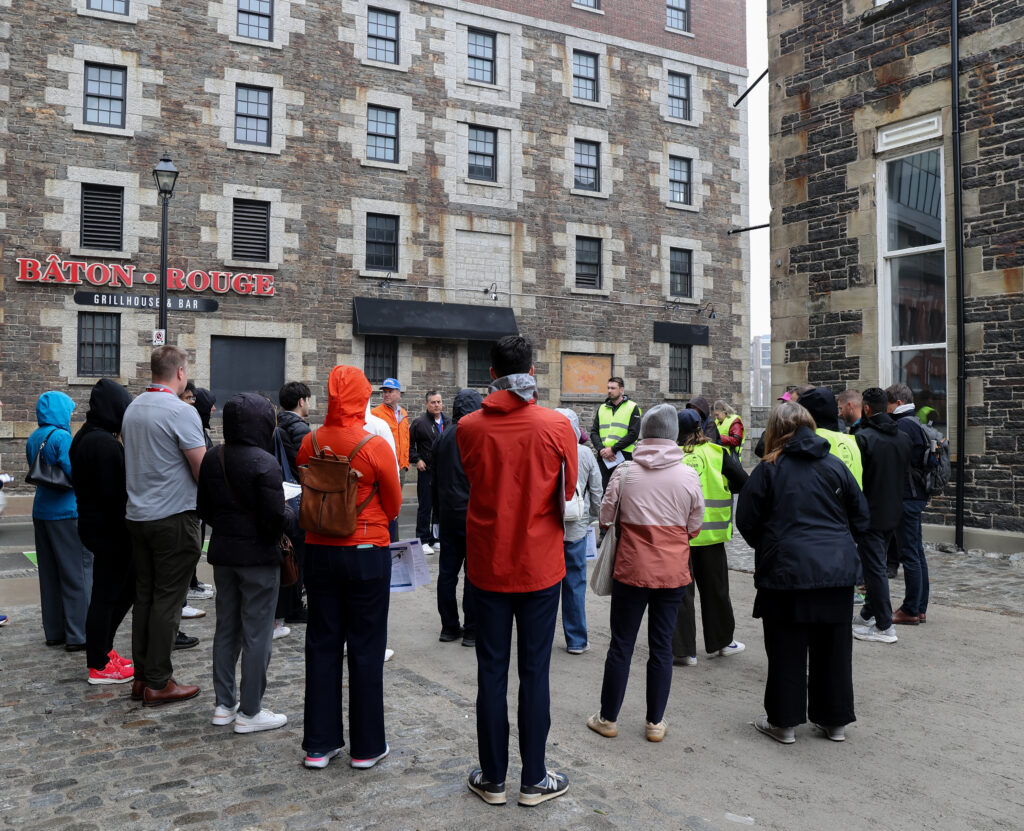
Here, participants explored how the redevelopment integrates the existing built environment with the new street network. Discussion also focused on bike-lane integration, crosswalk safety, accessibility upgrades, stakeholder engagement and communication during construction.
These considerations demonstrate that creating a safer transportation environment involves more than designing the roadway itself. The relationship between streets, buildings, crossings, public spaces and surrounding communities also affects how people experience and navigate a neighbourhood.
Stop 2: Granville Park
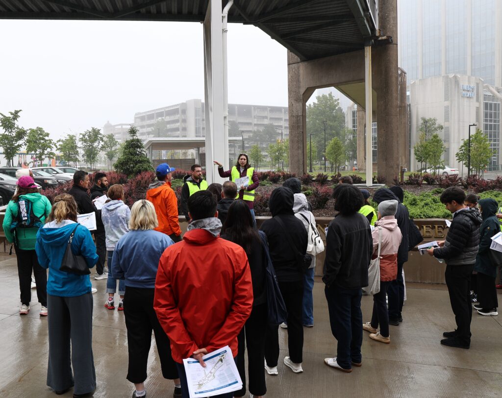
Granville Park represents the role that public space can play in a complete community.
The master plan identifies Granville Park as the heart of the Cogswell District’s open-space network, with spaces intended for active and passive recreation, gatherings, markets and festivals.
The area also demonstrates how public realm improvements can support broader social objectives. The walkshop discussion included mixed-use planning, affordable housing, public-space design, public art and social-benefit initiatives.
From a Vision Zero perspective, creating places where people want to walk, spend time and interact can help shift the function of streets and public spaces from simply moving vehicles toward supporting healthy, connected communities.
Stop 3: Cogswell at Barrington
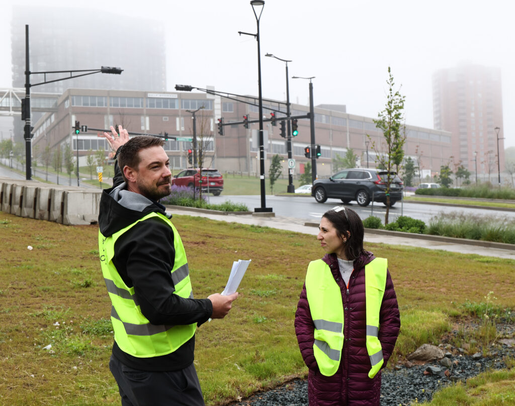
At the intersection with Barrington Street, participants saw some of the most significant physical changes resulting from the redevelopment.
Discussion included the removal of approximately 80,000 cubic metres of soil to establish new grades, the relocation of Scotia Square, new bus-lane infrastructure, the cycling network and the creation of new development blocks.
The transformation demonstrates how changing the underlying street network can create opportunities for safer and more direct connections between destinations.
Rather than rebuilding the former interchange in another form, the project reinstates an urban street grid designed to reconnect areas that had previously been separated by transportation infrastructure.
Stop 4: Barrington in front of HMCS Scotian 2
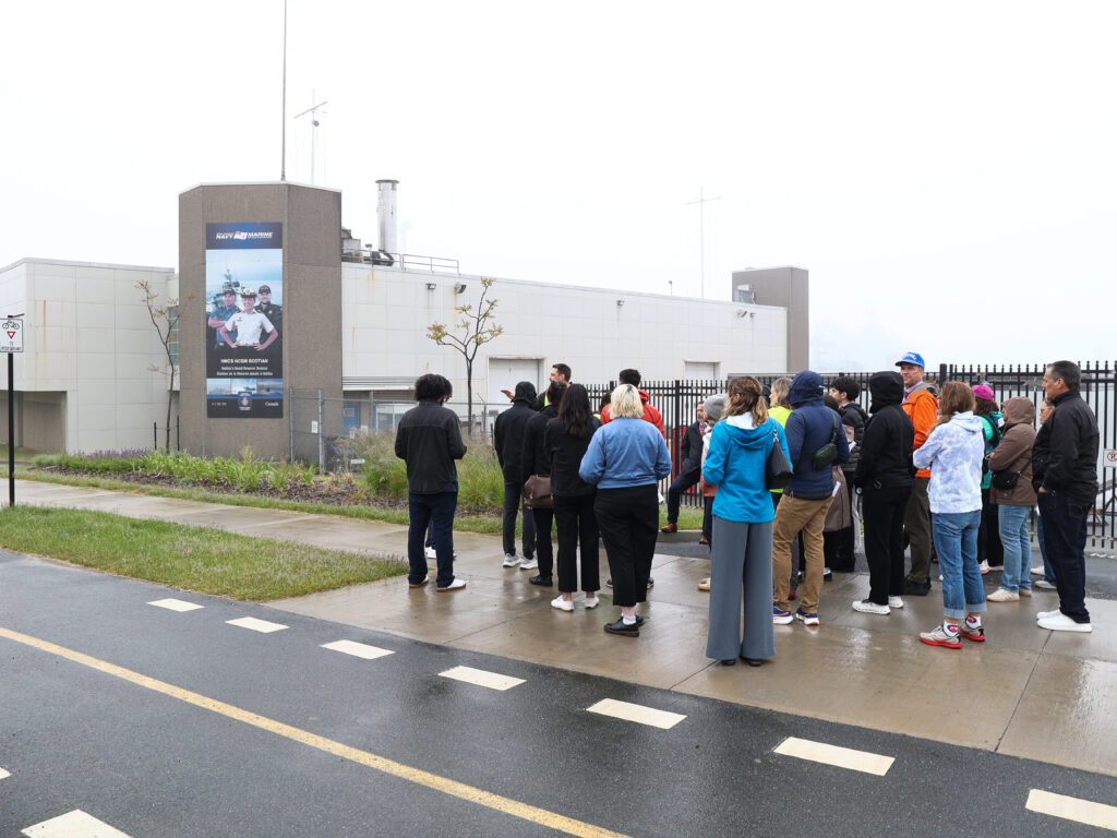
This portion of the route highlighted infrastructure that is less visible but critical to creating a resilient and functional district.
Participants learned about stormwater infrastructure, the District Energy System, accessibility improvements, parks and temporary active transportation routes used during construction.
The project incorporated flood-mitigation measures, including raising streets to address sea-level rise, as well as a new storm sewer outfall at Purdy’s Wharf.
These measures demonstrate the importance of considering climate resilience, infrastructure and mobility together when designing the future transportation network.
Stop 5: Barrington Roundabout
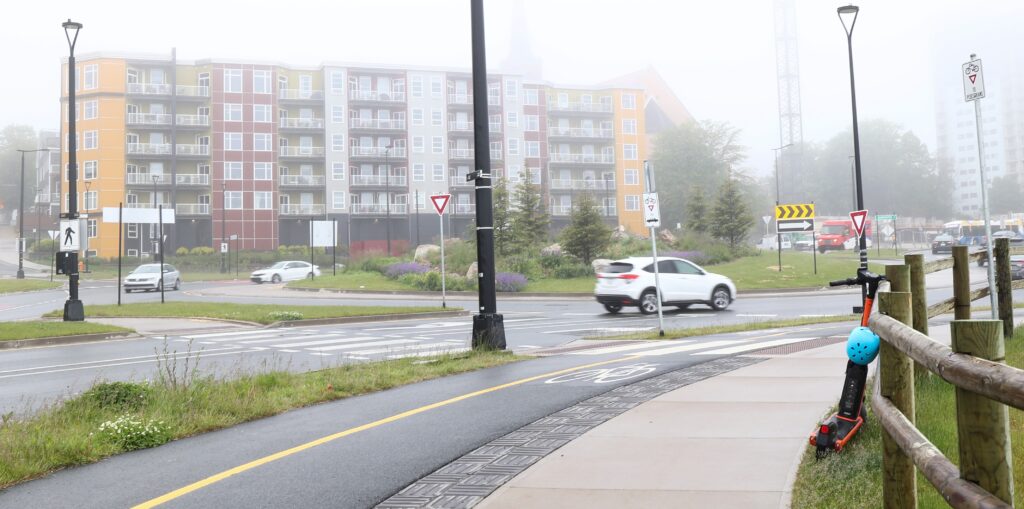
The Barrington roundabout provided an opportunity to examine how the redevelopment manages movement through one of the district’s key gateways.
Discussion focused on the partnership with the Department of National Defence, which owns property affected by the infrastructure changes, roundabout design, bus lanes and pedestrian and cyclist crossings. The design reinforces the principle that intersections and crossings need to work for all users—not simply accommodate the movement of motor vehicles
Stop 6: Nora Bernard at Amalamek
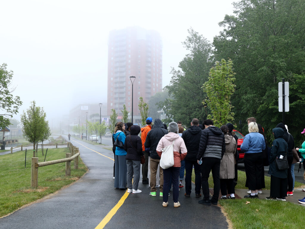
The final stop highlighted the connections created through the new active transportation network.
Participants examined multi-use-path connections, the community garden and the broader transformation from roadway infrastructure to a more complete urban district.
The route concluded with a discussion of how the new network connects the Cogswell District to surrounding neighbourhoods and the existing active transportation system.
Maintaining connectivity during construction
One of the most significant challenges of the Cogswell redevelopment was completing a major reconstruction project in the heart of downtown while keeping the city functioning.
The construction approach required traffic and other connections to be maintained as portions of the site were progressively opened and closed. New detour roads were introduced as work zones changed, allowing the overpass to be demolished in phases.
At the same time, the contractor was required to maintain live connections for infrastructure serving downtown while existing infrastructure was relocated or rebuilt to align with the new street grid.
The experience demonstrates that construction itself is part of the transportation system. Temporary routes, pedestrian and cycling connections, accessibility and communication with road users need to be considered alongside the final design.
Lessons for other communities
The Cogswell District experience offers several lessons for municipalities undertaking major transportation or urban redevelopment projects.
Major infrastructure projects can be opportunities to rethink the entire transportation network
Rather than simply replacing aging infrastructure, cities can use major redevelopment projects to reconsider how streets function and who they serve.
Connectivity is a safety issue
Reconnecting neighbourhoods and creating direct walking, cycling and transit routes can reduce barriers between destinations and create more opportunities for people to travel without relying on private vehicles.
Vision Zero needs to be embedded in the planning process
Safety is most effective when it is incorporated into the fundamental design of the street network, rather than added later through individual safety treatments.
Construction planning matters
Maintaining safe and accessible connections during construction requires careful planning, communication and coordination. Temporary conditions can last for years on major projects and should be designed with the same attention to safety as the permanent network.
Transportation infrastructure is also public space
Streets, parks, plazas, trails and transit facilities collectively shape how people experience a neighbourhood. Designing them as a connected system can create communities that are safer, more accessible and more vibrant.
Feedback from walkshop participants
In a CARSP survey to gather feedback on conference activities, walkshop participants were asked to rank their experience on a scale of one to five. The average rating was 4.78 out of 5.
A comment from one participant. “The walkshop tour provided an excellent opportunity to see real projects the HRM is working on to improve safe mobility. The presenters were knowledgeable, engaging and it was great to have an interactive component of the conference.”